UGCS USED FOR VERTICAL INSPECTIONS OF A CANADIAN ARCH DAM
May 27, 2022 – Riga, Latvia – Niricson, one of the fastest growing start-ups in Canada and the partner of SPH Engineering, practices an innovative UAV-based data collection method to work with dams and utilities, particularly on dam and spillway inspections. In summer 2021 the company was involved in a project to do a condition assessment of an arch dam. They managed to collect RGB data and thermal data using UgCS for vertical inspection purposes.
The dam inspections in Canada are an extremely innovative area where there hasn’t been a lot of growth. For detailed crack mapping and inspections, the traditional method is to send teams of engineers out on the structure, sometimes using rope access, where they have a harness, and they climb down the structure and manually measure each crack and then map each of them out with pen and structural drawings. A UAV method of data collection is more efficient, much safer for the team, and creates a digital model that can then be referenced over time which is extremely important.
Niricson, a trend setter in UAV-based dam inspections, needed to map and quantify cracks and other defects, like spalling, cracks, and efflorescence, on the concrete structure of an arch dam. They wanted to use UAV because it allowed them to capture high resolution imagery and build a 3D model of the structure that they can now reference for future inspections.

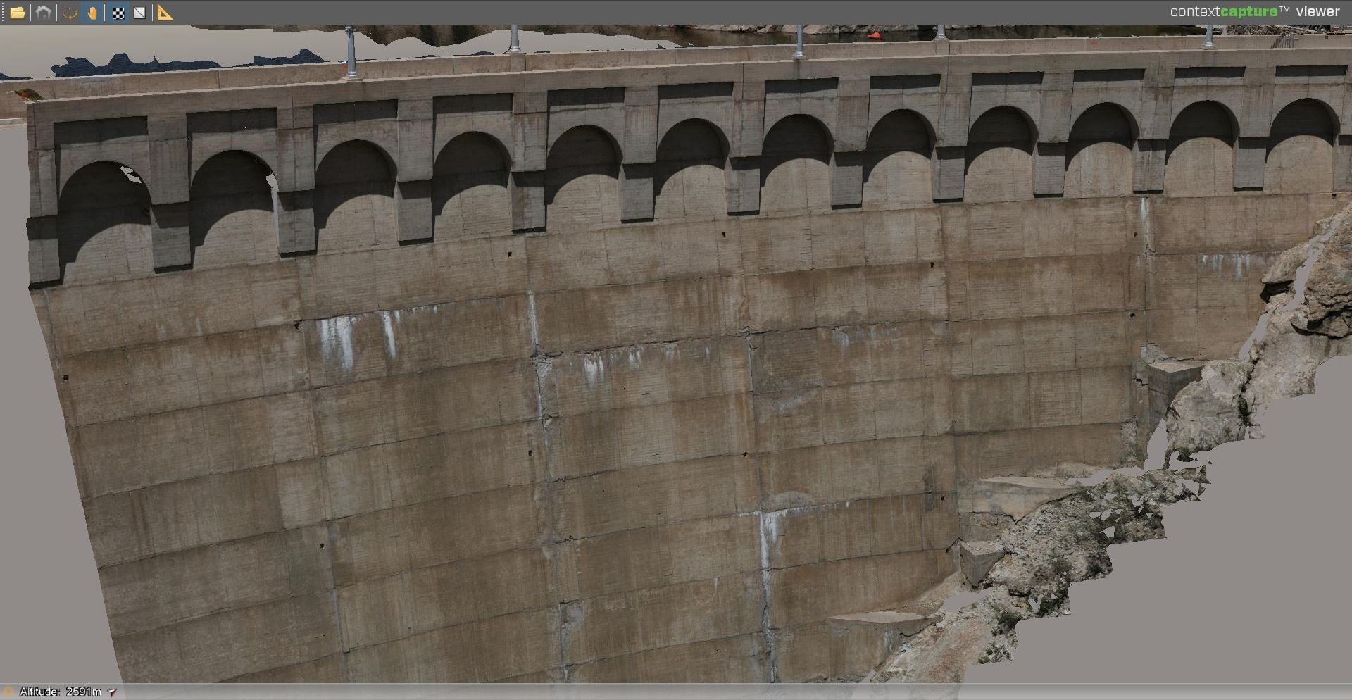
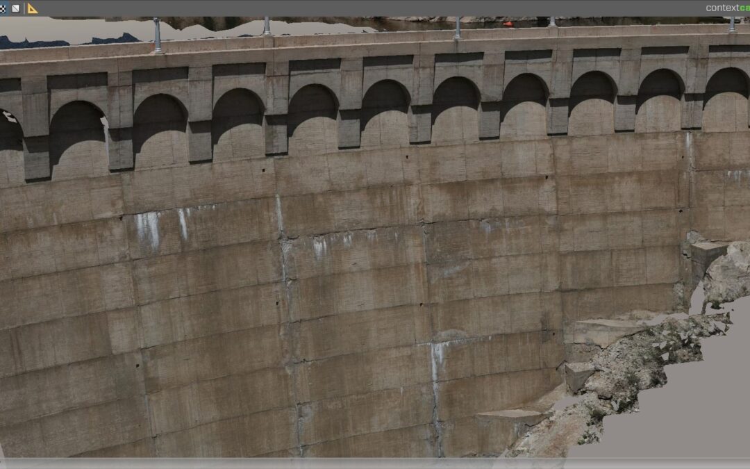
Arch Dam 3D Model on AUTOSPEX Platform © Niricson
‘Part of the reason why we used UgCS for this project is, number one, the vertical facade scanning tool which allows us to take vertical pictures of this arch dam using an automated flight. And number two, the DEM import. We took a LiDAR DEM, imported that into UgCS, and then were able to use terrain following to accurately plan our flight mission based on the DEM that we imported because traditional SRTM data didn’t have an accurate elevation for the dam,’ Josh explains.
‘The reason we opted for vertical scanning is because we wanted to make sure that we maintained a consistent ground sampling distance, or basically, a consistent pixel size for the images, and that allows us to quantify those cracks. Furthermore, we want this to be repeatable. We’d like to repeat this flight in a future survey to compare how the structure is changing. And so, using a NADIR flight or a downward facing camera flight, it would not be possible to get the consistent GSD that we need,’ Josh adds.

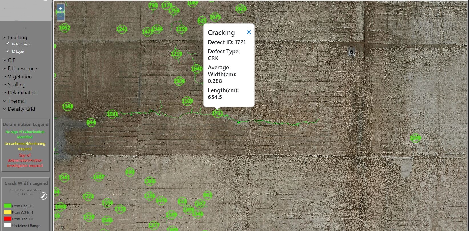
Crack Mapping and Quantification on AUTOSPEX using AI © Niricson
Niricson usually creates a ‘ground truth’ data set to compare with the data collected with UAV. They collect multiple layers of data with the UAV: thermal, RGB., and acoustic data – the latter being with their own proprietary sensor. According to Josh, ‘Before each site, we do a hammer test or a hammer sounding test and we compare that to data collected by our internal acoustic sensor. We’ve also done measurement verifications in the lab and onsite where we’ll take a photograph with an RGB camera and we’ll have a known GSD or a known distance from the structure that we take the picture from, and then we’ll have one of our team members go out and measure the distance between two objects, for example.’
Overview of what Niricson does with collected data:
From the collected data, Niricson builds a 1 millimeter-resolution 3D model of the concrete structure. After the model is built, Niricson uses artificial intelligence to automatically map and quantify all the cracks and spalls on the structure.
Since the defects are geo-referenced, the data can be tracked temporally, meaning that within a certain level of error, the team can start to understand how the structure is changing over time. This is especially useful on large dams and concrete spillway structures where mapping tens of thousands of cracks and defects can be an arduous task.


We would like to know about your software (AutoSPEX). We have a similar drone project (scanning large dam power plants).
Is your software standalone desktop software? Because China’s large-scale dam data is strictly prohibited from uploading to the Internet, for the safety of the dam.
Can your software be sold to Chinese users?
Looking forward to your reply